Getting Started

Are you a municipality, town, or city government aiming to enhance accessibility and transparency for your constituents regarding zoning codes and regulations? Miletus Analytics introduces a powerful Modeling Guide designed to assist local governments in creating user-friendly zoning maps. Our guide is tailored to simplify the complexities of land use planning, ensuring that municipalities can provide constituents with an accessible and informative resource. Empower your municipality to:

  • Streamline information management for effective communication with residents.
  • Provide property developers and construction companies with a clear and accessible overview of zoning regulations.
  • Accessible and transparent building codes help new and existing homeowners navigate land improvement and helps facilitate neighborhood prosperity.
  • Clear and accessible codes help invite more planned local development and economic growth.
  • Foster transparency in land use by offering an intuitive and user-friendly zoning map.

For additional support or inquiries, please feel free to Contact Miletus Analytics


Modeling Guide

This guide will help you understand how to use the Miletus Analytics modeling spreadsheet, and get you started building your custom zoning map.

Spreadsheet Template

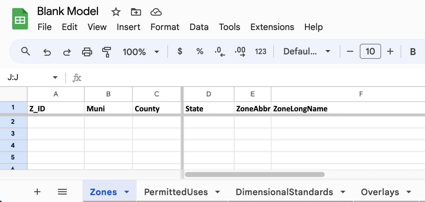
The spreadsheet template provided by Miletus Analytics serves as a modeling guide for clients to create custom zoning maps which efficiently organize and manage information related to land use rules, dimensional standards, and overlay districts.

Glossary

The glossary contains definitions for terms used in the Modeling Guide and Spreadsheet template, as well as general terms related to zoning.

If you have any questions about this document, the model, or would like to contact us, you can reach us at miletusanalytics@gmail.com or 610-836-2592.